WASHINGTON, D.C. – NCAS-M researchers at Howard University have been awarded $40,000 from the National Geographic Society to expand MapCraft: A Hybrid Analog and Digital Educational Tool for Middle and High School Students, a program that teaches students with disabilities how to explore air pollution and other environmental conditions in their communities through mapping.
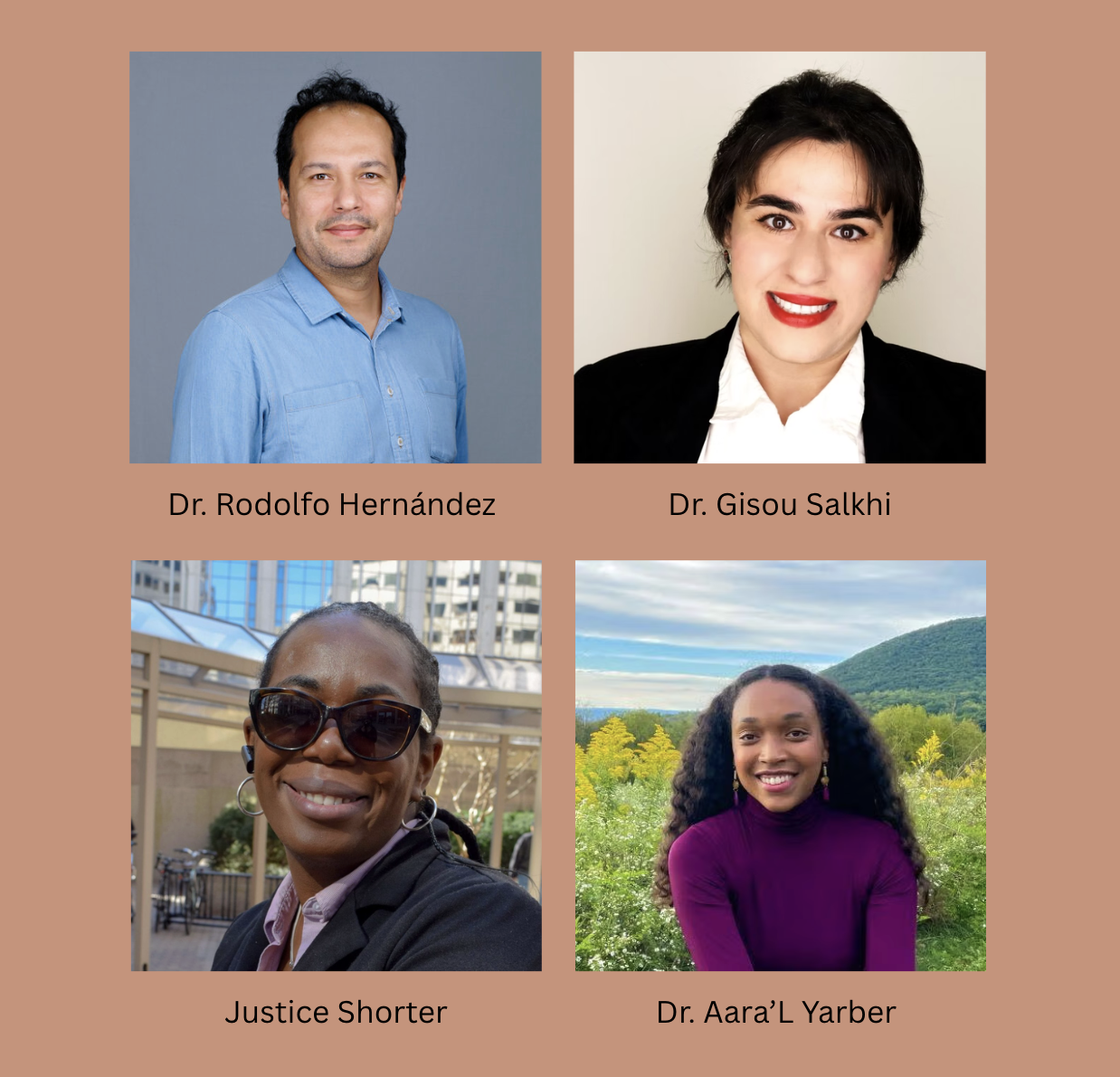
The project is led by Dr. Rodolfo Hernandez Perez of NCAS-M at Howard University, who oversees the project’s overall design and execution, with Dr. Aara’L Yarber (NCAS-M/Howard University) leading science communication and air quality education and Dr. Gisou Salkhi (Texas A&M University) overseeing digital mapping and program evaluation.
Justice Shorter, founder of the disability justice practice SeededGround, joins the leadership team as accessibility and facilitation lead. Shorter will help ensure that the curriculum is designed with students of color with disabilities from the beginning, rather than adapting existing materials after the fact. Two Howard University research students will also support curriculum development and workshop facilitation.
The award builds on a National Geographic Society seed grant that funded MapCraft’s initial pilot from November 2025 to April 2026. The next phase, running from October 2026 through June 2027, will bring the program to River Terrace Education Campus, a D.C. public school serving students with disabilities in Anacostia. Students will learn across three settings: their school, NCAS-M laboratories at Howard University, and neighborhoods in D.C.’s Ward 7.
“MapCraft positions students not as passive recipients of environmental data, but as active cartographers of their own communities,” said Dr. Hernandez Perez. “With this support from the National Geographic Society, we can build a mapping curriculum that is accessible from the ground up and lets students with disabilities lead the way in telling the story of their own neighborhoods.”
About the Project
MapCraft will engage 40 to 50 students at River Terrace, most of them Black students with disabilities, in exploring air quality and environmental health in their own communities. Students will work with publicly available air quality data and digital mapping tools, including Esri’s ArcGIS and National Geographic MapMaker. They will also use hands-on, multisensory materials designed to make mapping more accessible. Together, these tools will allow students to investigate environmental conditions in their neighborhoods and create maps that communicate what they find.
The program will include three workshops, each preceded by a virtual preparation session. Students will participate in activities at River Terrace, visit NCAS-M laboratories at Howard University, and explore neighborhoods in Ward 7. Along the way, they will learn how scientists collect and interpret environmental information, how maps can reveal patterns in their communities, and how they can use maps and journals to communicate their own observations and experiences.
Accessibility isn’t an afterthought in MapCraft — it’s built in from the start. The research team is working with Shorter, River Terrace educators, and disability experts to develop mapping tools and lessons that students can meaningfully use and engage with. The project will also undergo review by Howard University’s Institutional Review Board and D.C. Public Schools to ensure that the research protects students’ privacy and includes appropriate parental consent and accessible ways for students to understand and agree to participate.
At the end of the project, the team plans to submit instructional materials and student work for consideration for a special exhibit at the National Geographic Museum highlighting geographic learning among students with disabilities.
About the National Geographic Society
The National Geographic Society is a global nonprofit that funds work advancing the understanding of our world through the support of Explorers working in the fields of science, education, storytelling, and conservation.